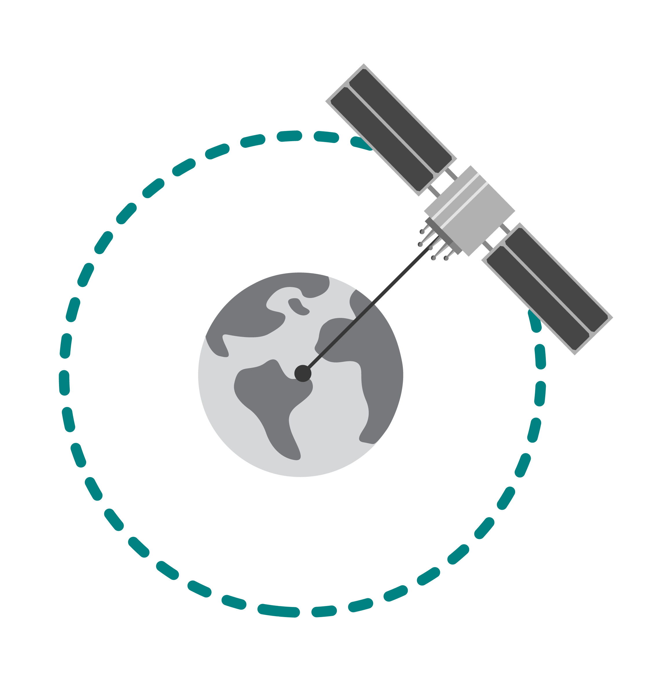
GNSS data services from Rx Networks enables quick and accurate positioning in all connected GNSS integrated devices. When the position dimension is added, the device gains a better awareness of the context it is in.
Telecom
Telecommunications operators have a need to supply all of their users with GNSS data, and the main requirement is to enable the accuracy of all the different GNSS integrated devices connecting to their network. This means a balance between compatibility for the GNSS device and the bandwidth burden for the Telco operator.
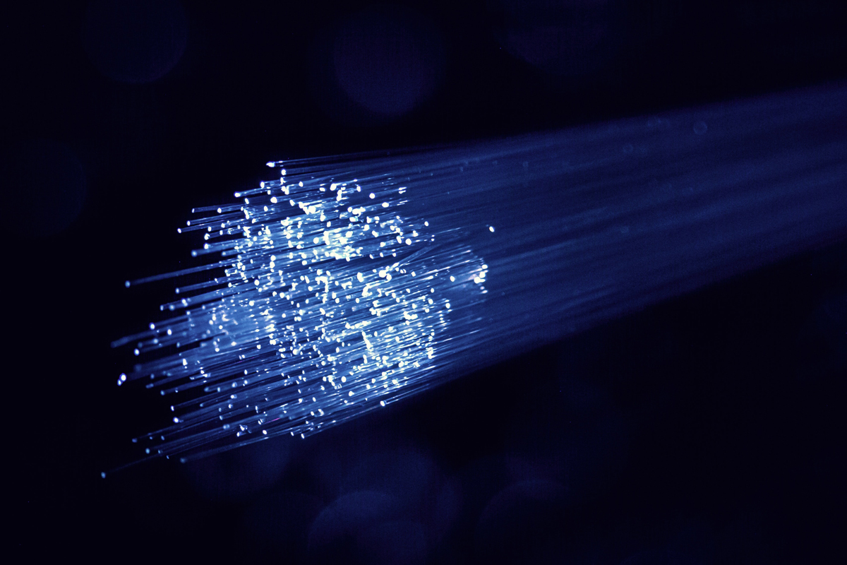
Rx Networks continues to quietly and securely deliver GNSS data to connected mobile devices for instant positioning and better accuracy. The main showcase of this is in E911 technology where a caller’s location has already been sent for the dispatching of emergency services.
Products Used in Telecom
-
 Title Highlighted
 -
 Title Highlighted
 -
 Title Highlighted
 -
-
 Title Highlighted
 -
 Title Highlighted
 -
 Title Highlighted
 -


SmartPhone
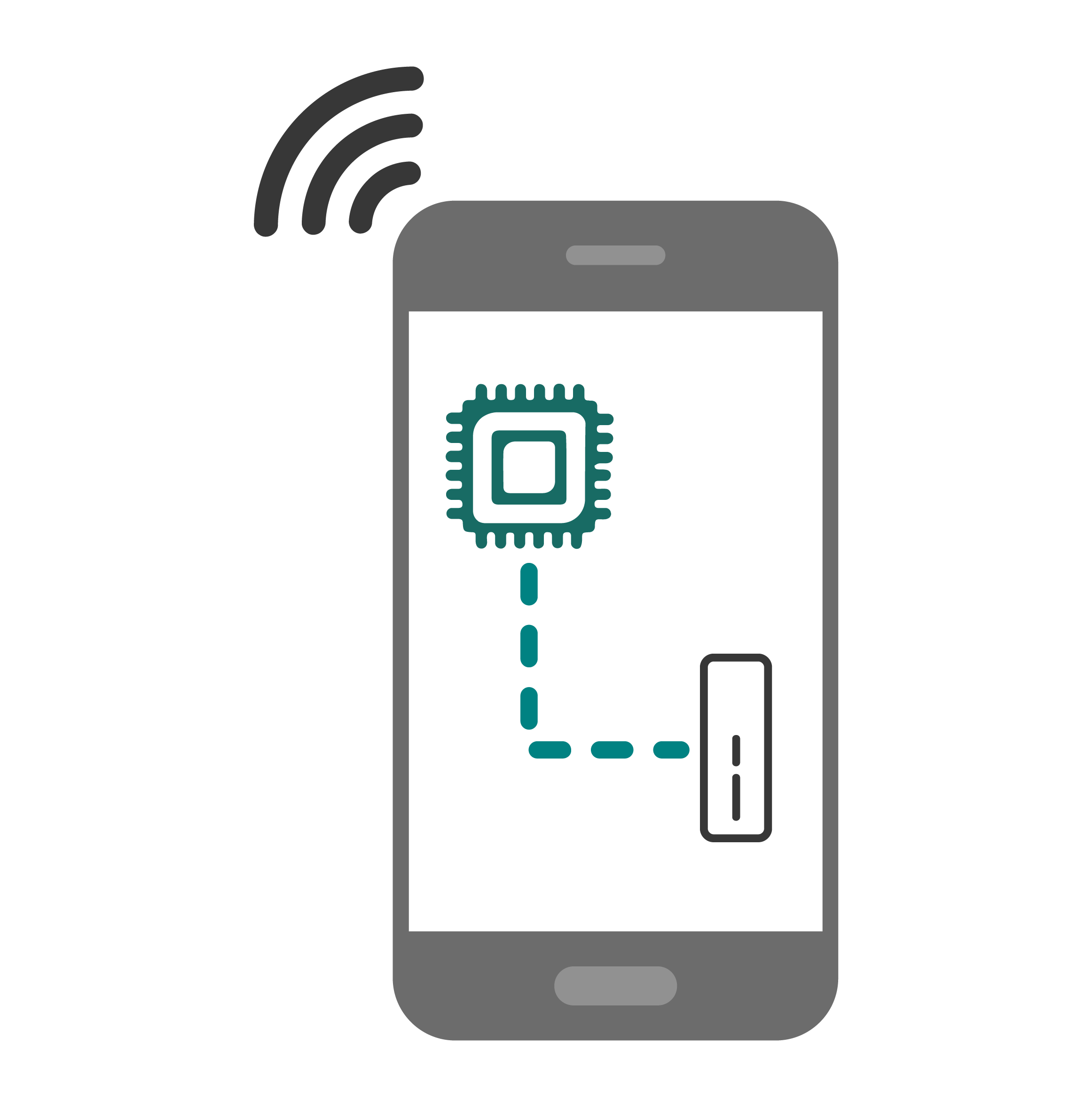
The vast majority of GNSS receivers today are installed in smartphones, with 1.5 billion devices produced every year. Most of these new phones make GNSS raw measurements available to onboard applications. This has led to many new smartphone applications and 1000+ research papers focusing on GNSS positioning with smartphones.
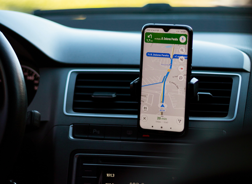
In the last decade location-based services have become a cornerstone of mobile apps capabilities on smartphones. While initially using only the GPS constellation, they have progressively extended their support to Glonass and Beidou and, more recently, to Galileo.
The accuracy of GNSS positioning with smartphones (using a single band GNSS chipset) is usually in the range of 3 to 15 meters with the potential for better with integrated corrections services.
Products Used in SmartPhone
-
Title Highlighted
-
Title Highlighted
-
Title Highlighted
-
Title Highlighted
-
-
Title Highlighted
-
Title Highlighted
-
Micro Mobility
Whether for scooters or ebikes or trucks and cars, managing your fleet is essential to getting the most out of a transportation sharing service. Enabling quick and accurate positions of every rental maximizes the life of this asset.
When a renter is assigned to their rental, they will know exactly where to locate it within 50 cm because the previous renter returned it to a location mandated by the local municipality. At scale the status of all of these rental assets may be accounted for.
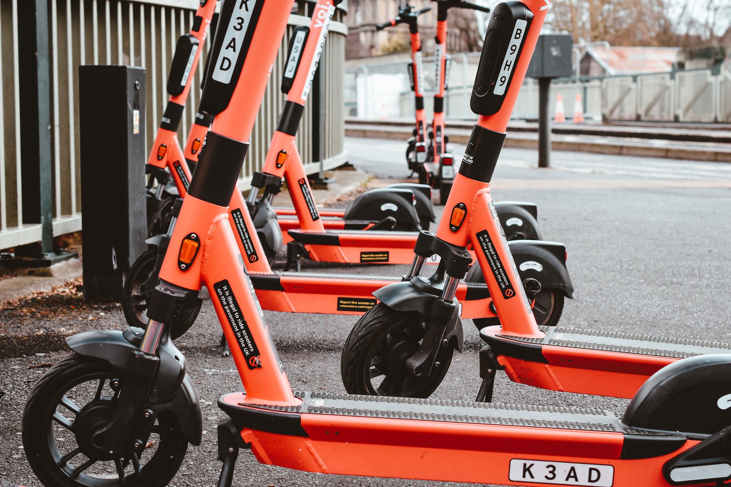
During operations, scooters can be picked-up and redeployed to locations that need them. Onboard telematics can let the rental operator know when a scooter needs maintenance or recharging or if it has strayed outside of it’s geofenced zone.
During use, operators can pre deploy staff to be ready for when scooters are returned at the end of a crowded event.
At the end of the rental, accurate positioning ensures that the rentee followed all of the rules of using the scooter and the operator knows how much mileage they have gotten out of each connected GNSS Integrated scooter
Products Used in Micro Mobility
-
Title Highlighted
-
Title Highlighted
Robotics
The use of robots is integrating with day-to-day life. From remote delivery vehicles to remote inspection services to automated lawn mowing or line painting robots, the use of robotic machines is growing exponentially.
Navigation is a major task for autonomous mobile robots. Precise positioning and heading play a very important role when it comes to the navigation abilities of robotic machines. Rx Networks premium corrections data products are extremely well suited for robotic applications.
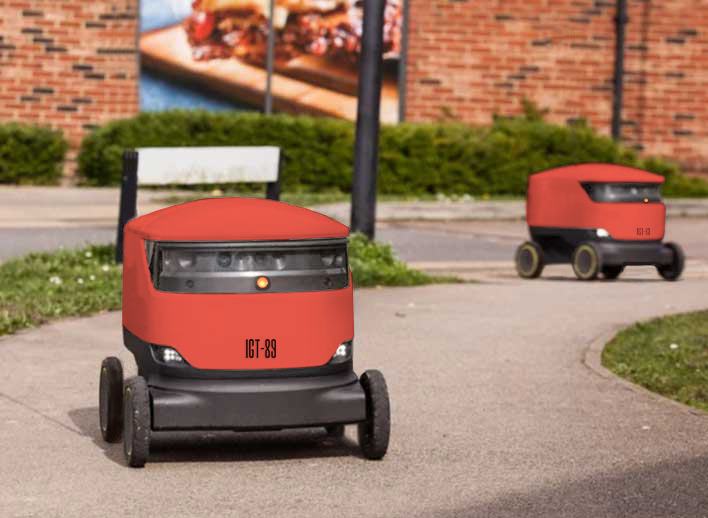
For robotic use outdoors, GNSS provides a range of accuracies. Depending on the application, submeter positioning can be enabled in real time. The use of positioning algorithms combined with electronic map and path planning, GNSS can accurately position and orient robots along the desired route.
Products Used in Robotics
-
Title Highlighted
-
Title Highlighted
-
Title Highlighted
UAV
UAV’s have been widely used in aerial photography, electrical, pipeline and facility inspections, agricultural mapping / inspection, aerial surveillance as well as for film and home entertainment purposes.
Flight control systems have a significant impact on the stability, reliability, and accuracy of UAV mission success. GNSS is an integral sensor on the UAV flight control system, providing accurate position and or position and orientation. A UAV’s mission success relies on accurate speed, altitude, position and orientation, all of which GNSS provide.
Rx Networks provides GNSS corrections coverage of an area that your UAV will operate in.
Products Used in UAV
-
Title Highlighted
-
Title Highlighted
Precision Agriculture
Agricultural machinery (driven or autonomous) equipped with GNSS technology is widely used for many different agricultural tasks today, from soil analysis, seeding, planting, plowing, fertilization, weeding, harvesting, and more.
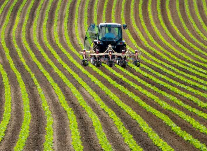
Autonomous agricultural machinery rely on the high-precision GNSS navigation and positioning information computed onboard to control the automated movement of the equipment. This autonomy allows for 24/7, any weather operations which greatly helps in improving agricultural operations efficiencies.
The growth of automation in agricultural production has greatly raised productivity and changed the traditional farm into an efficient state-of-the-art operation. Automatic control technology helps agricultural machinery operate in a precisely designed manner.
Products Used in Precision Agriculture
-
Title Highlighted
Last Mile
The last mile is defined as the final leg of a cargo’s destination—the detail that many delivery services know too well as the critical part of a package's journey. A package “on its way” is still a package in shipping from the perspective of the final destination.
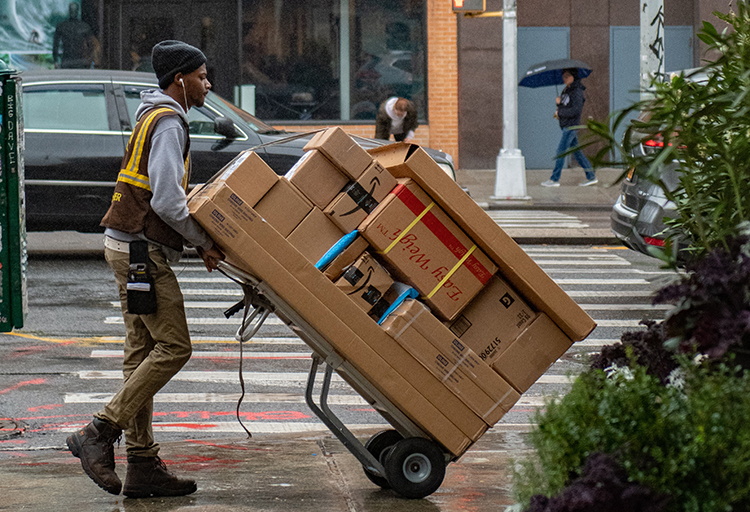
Whether it is a delivery robot's guidance system or a courier holding a cell phone, that package needs to be placed exactly on the right doorstep.
The successful completion of the delivery chain is where location changes from a ‘push’ update to a ‘pull’ as the time of arrival gets closer. The deliveree probably made arrangements for the culmination of events for a successful delivery. Location accuracy is essential for the package, the delivery personnel and the delivery vehicle where GNSS is integrated into it.
Products Used in Last Mile
-
Title Highlighted
-
Title Highlighted
-
Title Highlighted
Personnel Tracking
Knowing where members of your crew wearing personal tracking devices are is essential to their safety. An accurate position of their whereabouts provides deep real-time insights into their safety, ensuring they are a distant proximity to danger.
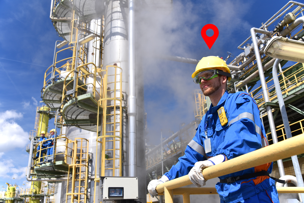
In an emergency situation, you can quickly determine that your crew has safely reported to a muster point. Lone workers add another layer of safety awareness.
In normal operations unlocking the positioning accuracy of personnel lets you know where and how efficient operations are, and caution of an impending hazard that needs to be managed. You will know your specialists are deployed to their callings with quick and accurate positioning.
Products Used in Personnel Tracking
-
Title Highlighted
-
Title Highlighted
-
Title Highlighted
-
-
Title Highlighted
Asset Tracking
Internet of Things (IoT)-enabled asset tracking leverages IoT technology that uses GPS/GNSSchipsets in addition to cellular tower triangulation to pinpoint an asset’s location.
To track and protect critical equipment, IoT asset tracking leverages sensors and connected devices to enable remote monitoring and management of an asset’s geoposition and movements. Every business has valuable assets, from industrial equipment to vehicle fleets or even livestock on a farm. Protecting their safety and availability is critical to your business’s success.
Securely tracking the location and health of valuable assets and inventory is critical to business operations. Managing your assets becomes much easier with IoT-enabled asset tracking. These solutions allow you to track your assets remotely, enabling your business to reduce risk and create new revenue streams.
Products Used in Asset Tracking
-
Title Highlighted
-
Title Highlighted
-
Title Highlighted
-
-
Title Highlighted
-
Title Highlighted